Isle of Wight and Drone Services
How it all began....
The idea of flight has always felt deeply connected to freedom and imagination. As a child, stories like Icarus and the simple dream of flying like a bird made the sky feel limitless, a place where human boundaries could be left behind. For most of history, that sense of freedom belonged only to those who could pilot an aircraft.
Advances in technology changed that for me. Drones offered a way to experience flight while still standing on the ground, and they became my first step into unmanned aviation. I started with small consumer and self built drones, learning through experimentation and curiosity. Over time, this grew into flying first person view systems and eventually working with platforms equipped with advanced cameras, remote sensors, GPS and RTK positioning, and detailed mission planning and data processing tools. As I learned to collect, analyze, and correlate data with increasing accuracy, what began as a hobby slowly became a passion and, ultimately, a professional direction within an emerging field.

While my love of flight is still very much there, what motivates me most today is the quiet challenge of gathering information carefully and responsibly, and then shaping it into something useful. I’ve come to enjoy the patience and attention required to capture visual and geospatial data that can truly be trusted, and the satisfaction that comes from seeing raw imagery slowly take on meaning.
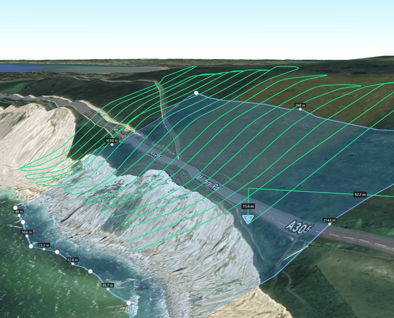
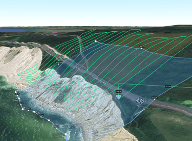
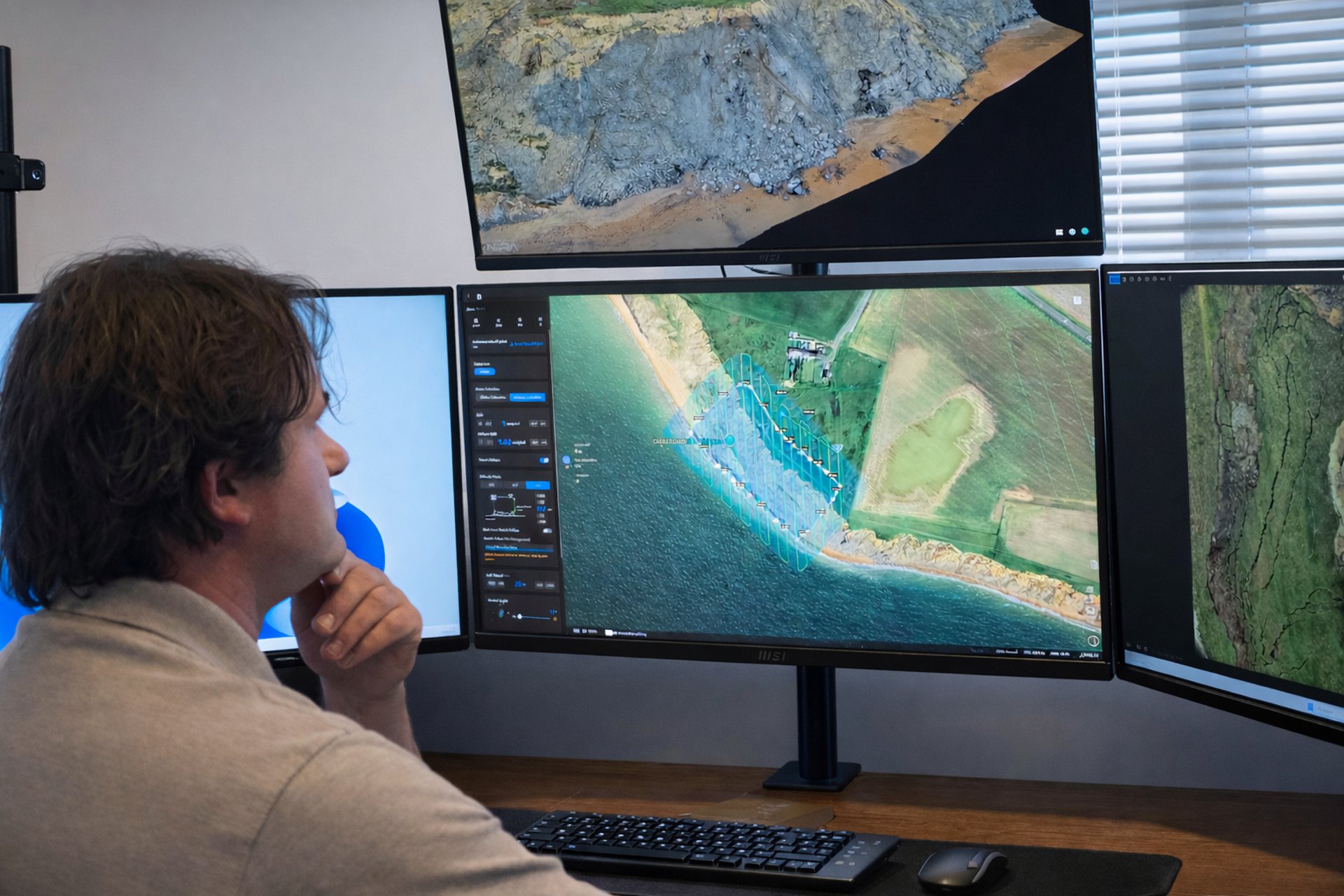
As my experience has grown, so has my approach. I’ve moved toward using more capable tools and thoughtful methods, pairing drones with specialized sensors and positioning systems, and learning how to work with the data they produce. The process of turning what is collected in the air into clear, reliable outcomes on the ground has become just as rewarding to me as the act of flying itself.
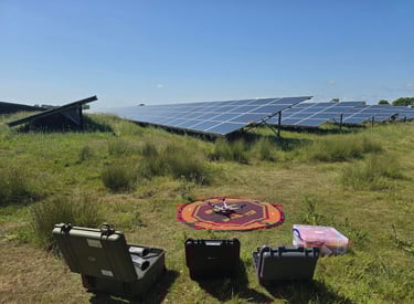
As an Islander working locally allows me to keep things simple, responsive, and grounded in real familiarity with the Isle of Wight. Knowing the area, its buildings, landscapes, weather, and infrastructure means I can plan and fly with a level of care and understanding that only comes from spending time here. It also reduces unnecessary complexity, making each project easier to manage and better suited to local conditions.
This approach lets me produce clear, reliable aerial data to support property inspections, maintenance planning, and asset assessment, while staying closely connected to the community it serves. Being able to offer advanced remote sensing capabilities locally tools that are often only available through larger mainland operators feels especially meaningful when they can be applied thoughtfully and directly to the place I know best.